Essex Society for Family History

Logo

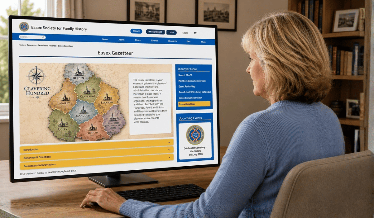
Essex Gazetteer

The Essex Gazetteer is designed to help family historians identify the towns, villages, hamlets, farms and other places associated with their ancestors across the historic County of Essex ("Old Essex"). Historical records often refer to places that have changed their names, disappeared altogether or use spellings that differ from those found on modern maps. The Gazetteer helps bridge that gap by linking historic place names to the parish in which they were situated, making it easier to locate the records you need. It covers the historic County of Essex rather than today's administrative boundaries. This includes places that now fall within Greater London and neighbouring counties following later boundary changes, reflecting the county as your ancestors would have known it.

To use, simply enter either a Place, Parish, Church, Hundred, Poor Law Union or Registration District into the relevant search box to find associated information. The Gazetteer includes many historic spelling variants, helping you locate places even when names have changed over the centuries.
 

Click 'Search' and a results panel will be displayed (see below).

 

The Gazetteer includes the majority of settlements that you are likely to encounter in genealogical records, from major towns and villages to many smaller hamlets, farms and historic localities.

Many places can still be found on modern maps, while others have disappeared or been absorbed into neighbouring communities. Where a place no longer exists, the location shown represents the best available approximation based on historical evidence.

Place names have evolved over many centuries. Wherever practical, commonly used historic spellings and alternative names have been indexed to help researchers locate the correct place.

Researchers interested in the linguistic origins and historical development of Essex place names are encouraged to consult the published sources listed in the Gazetteer's References section, including the works of P. H. Reaney and other recognised authorities.

There are 6 historic and genealogically important entities which the Essex Gazetteer can help you find to support your research. These are:

Place: A named location such as a town, village, hamlet, farm, manor, heath, bridge, common, mill or other locality. A place is normally associated with one historic parish.

Parish: The fundamental unit for family history research. Most baptisms, marriages, burials and many other records were organised by parish. Every Gazetteer place is linked to a historic parish wherever possible.

Church: The principal Anglican parish church serving the parish. Parish pages include church dedications, photographs and mapping information. Chapels, district churches and other places of worship may also be referenced where historically significant.

Hundred: An ancient administrative division of a county comprising a number of parishes. Hundreds were widely used in taxation, administration and legal records from medieval times until the nineteenth century.

Poor Law Union: A grouping of parishes established from 1834 to administer poor relief and workhouses. Poor Law Union records can be invaluable for tracing impoverished ancestors, settlement examinations and workhouse admissions.

Registration District: The civil registration district responsible for recording births, marriages and deaths from 1837 onwards. Registration Districts changed over time and often differed from parish boundaries, making them essential for locating GRO certificates.

The original Essex Gazetteer was researched and compiled by former ESFH member Adrian Stockton and published in printed form for Society members in 2002.

Since then, it has been extensively reviewed, expanded and integrated into the Society's digital Parish Database. Thousands of historic place names have been retained and enhanced with additional location information, alternative spellings and modern mapping references.

The Gazetteer draws upon a wide range of historical and modern sources, including historic maps, published reference works and contributions from ESFH members and researchers. While every effort has been made to ensure accuracy, it should be regarded as a practical research aid rather than a definitive study of Essex place names.

Original Sources (2002)

Barham, Andrew. Lost Parish Churches of Essex. Romford, Essex: Ian Henry Publications, 2000.

An account of many Essex churches no longer in existence.

Essex Who and Where 1909. 1909. Publisher and place of publication not recorded.

A directory of prominent Essex persons with a gazetteer of place-names; treat its location details with some caution, as they are not always consistent with other sources.

Godfrey, Alan, ed. Blackwater & Chelmer, Essex. Ordnance Survey One-Inch series, 1886 ed. Consett, Co. Durham: Alan Godfrey Maps.

Godfrey, Alan, ed. Colne Valley & Braintree, Essex. Ordnance Survey One-Inch series, 1887 ed. Consett, Co. Durham: Alan Godfrey Maps.

Godfrey, Alan, ed. Roding Valley & Epping Forest, Essex. Ordnance Survey One-Inch series, 1886 ed. Consett, Co. Durham: Alan Godfrey Maps.

Godfrey, Alan, ed. SE Essex. Ordnance Survey One-Inch series, 1884 ed. Consett, Co. Durham: Alan Godfrey Maps.

Godfrey, Alan, ed. Suffolk, Sheet SW. Ordnance Survey One-Inch series, 1893 ed. Consett, Co. Durham: Alan Godfrey Maps. Five reprint sheets used to check place-names difficult to locate on modern maps; reprint dates not stated by the publisher, so the years given are those of the original Ordnance Survey.

Hopkirk, Mary. Danbury: Historical Notes and Records of the Village of Danbury in the County of Essex. Danbury: Published by the author, 1945.

Humphery-Smith, Cecil R., ed. The Phillimore Atlas and Index of Parish Registers. 1st ed. Chichester: Phillimore & Co., 1984. ISBN 0-85033-398-9.

Kelly's Directory of Essex. London: Kelly's Directories. Published annually; cite the specific year used (e.g. the 1908 edition).

Ordnance Survey Street Atlas: North Essex / South Essex / London. London: George Philip Ltd.

Used to check the relative locations of many places; specific editions and years not recorded.

Pevsner, Nikolaus. The Buildings of England: Essex. 2nd ed. Revised by Enid Radcliffe. Harmondsworth: Penguin Books, 1965. ISBN 0-14-071011-6.

Reaney, P. H. The Place-Names of Essex. English Place-Name Society, vol. 12. Cambridge: Cambridge University Press, 1935. Reprinted 1969. ISBN 0-521-07505-X.

Scarfe, Norman. The Shell Guide to Essex. London: Faber & Faber, 1968. ISBN 0-571-11819-4.

Tait, Charles G. The Parish Churches of North East Essex. Maldon, Essex: Charles Tait, 1993. ISBN 0-9518643-2-7.

Tait, Charles G. The Parish Churches of North West Essex. Maldon, Essex: Charles Tait, 1994. ISBN 0-9518643-3-5.

Tait, Charles G. The Parish Churches of South East Essex. Maldon, Essex: Charles Tait, 1992. ISBN 0-9518643-1-9.

Tait, Charles G. The Parish Churches of South West Essex. Maldon, Essex: Charles Tait, 1995. ISBN 0-9518643-4-3.

All four published by Charles Tait, 6 Fambridge Road, Maldon, Essex, CM9 6AA.


Section 1 - Additional Sources (post 2002)


Use the form below to search through our data.

Click 'Search' to browse.


Our Opening Hours

For Research Centre Opening Hours
Please ask today's volunteer

Respect & Protect

Respect copyright and data protection.
Do not save personal data to these PCs.

Feedback

We welcome your feedback to help us
improve the Research Centre

Computer

Research Centre PC
ESFH-01

Computer

Research Centre PC
ESFH-02

Computer

Research Centre PC
ESFH-03

© Copyright. Essex Society for Family History. All Rights Reserved.  Registered Charity No 290552
Website by Beachshore

Website by Beachshore